Hurricane Lorena Weakens, Flash Flood Threat Persists
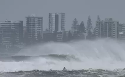
Former Hurricane Lorena, now a Category 1 storm, is losing steam in the Pacific, but its impact is still a concern, particularly for the Southwestern United States and parts of Mexico. While weakening, Lorena is still projected to deliver significant rainfall, raising the risk of flash floods.
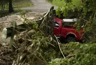
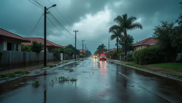
Lorena's primary landfall impact zone is expected to be Baja California Sur and Sonora, Mexico, through September 5th. These areas could experience substantial rainfall, potentially between 4 and 8 inches, with isolated areas receiving up to 15 inches. The heavy precipitation increases the likelihood of dangerous flash floods and mudslides.
The storm also poses a threat to the U.S. Southwest. Portions of Arizona and New Mexico are forecast to receive between 1 and 3 inches of rain, with some localized areas potentially seeing up to 5 inches. This rainfall could lead to isolated to scattered flash flooding events.
As of the morning of September 4th, Lorena was situated approximately 105 miles west-southwest of Cabo San Lazaro, Mexico, and just over 500 miles from the Mexico-Arizona border. The storm was moving northwest at 80 mph, and forecasts anticipated a turn to the north-northeast later that day. This path is expected to take the storm parallel to the Baja California peninsula's west coast, approaching Baja California Sur from the night of September 4th through September 5th.
Despite the anticipated weakening of the storm, meteorologists emphasize that substantial moisture will continue to flow northeastward from the system. Residents in affected areas are urged to monitor weather updates and heed any warnings issued by local authorities.